Wanted to visit the Himalayas, but haven’t made it yet?
Don’t despair, thanks to the Vysočina Geopark, you have a unique opportunity to walk through an area that has been in ancient times as high as the Himalayan giants.
The rocks of the Geopark tell us about what happened in the Telč region 340 million years ago (carbon). At that time, the Geopark was located 15 – 20 km below the surface and it was really warm (550 °C).
In the Geopark you can look into the past of one of the most important stages of the geological development of the landscape of the Czech Republic.
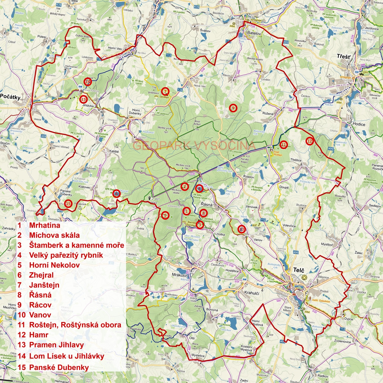
Vysočina Geopark is one of 9 national geoparks in our country. The area of 200 km2 extends north and west of Telč.
Our landscape was created during the Variscan (Hercynian) fold. 340 million years ago, extensive mountain ranges were formed here, exceeding a height of 6 km. Since then, the hills have only been reduced by erosion, and from the mountains we are “left” only the highlands with the highest mountain Javořice (837 m above sea level).
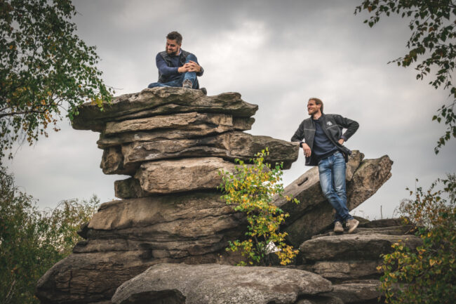
In the Geopark you will find mainly granite and its erosion formations. You can find it really everywhere. Granite tells the stories of stone-cutters who used it to build houses and to make works of art.
The stone-cutting tradition, pure nature full of ponds and peat bogs together with UNESCO monuments in Telč, this all forms unique genius loci that you must experience.
Godspeed!
Geological maps available here:


